What to expect from the terrain to the weather
Over Mountains and deserts, through ghost towns during rain, hail, and possibly landslides. Just a quick bike ride through the diversity of our great nation.
Have I mentioned how intimidating this half of Route 66 is? Between the mountains, the desert, the ghost towns, not to mention the weather variability, and all while having to cycle everywhere, it keeps me up at night! Usually, I try not to think about all these obstacles because they would scare me out of wanting to do the ride. Today, I’m going to tackle my fears straight on, so let’s do what Mark Watney would do and break it all down. As an aside, the fictional character is from my actual alma mater, so I feel a kinship to his nerdiness.
Elevation
First, let’s talk elevation. The route starts in Amarillo at 3,645ft, which is more than the 18ft above the sea level of Oakland, where I live. The route peaks near the volcano of Cerro Bandero, New Mexico, where it also crosses the Continental Divide at 7,900ft before going down and back up to 7,335ft at the Arizona Divide, and then gradually seesawing its way through Cajon Pass, 4,290ft, and back to sea level at the Santa Monica pier.
Why does this matter? The higher the elevation, the more the body’s ability to deliver oxygen to working muscles is reduced, which lowers VO₂ max and endurance performance. VO₂ max decreases by about 6–7% per 1,000 meters (3,280 ft) above sea level. So when I land in Amarillo, I’ll already have a 6-7% decrease in ability, and when I reach the peak a week later, I’ll be down an additional 6-7%. Climbers in the Tour de France, for example, slow noticeably above 7,000ft. Over time, my body will adapt, but this process takes weeks to months, which is not going to help since this ride “should” only take about three weeks.
Mountains
The southernmost point of the Rocky Mountains runs near Santa Fe, which is along Route 66. However, I have opted for a more direct route skirting the Rockies, which are the largest mountain system in North America. However, I will still be cycling across the Sandia Marzano Mountains just east of Albuquerque.
The Continental Divide will be in the Zuni Mountains just south of Gallup. That day, I’ll have to bike 100 miles from Grants to Gallup since there are no hotels along the bike route, while attaining the highest elevation, 7,900ft, and the second most feet of elevation gained in a day, 3,996ft. Eastern AZ will present a nice descent until just outside of Flagstaff, where we’ll climb 1,500ft in 34miles.
Once we leave Flagstaff, we’ll be climbing out of the basin and over the volcanic San Francisco peaks until more ascending near Oatman and the border with California. Finally, we’ll cross another high point at the Cajon Pass as we traverse the San Gabriel and San Bernardino mountains, where we finally roll into Los Angeles.
Desert
Lots of people like deserts, think of Sedona, Joshua Tree, Las Vegas, Santa Fe, etc. I’ve decided that I dislike the desert. I prefer lakes, rivers, lush green valleys, places where there is an obvious fresh water Garden of Eden-like vibe. Unfortunately, for the most part, the landscape of this ride is going to be pretty arid, dry, and hot except for a few select places.
Although Amarillo seems like it would be in a desert, it’s actually in the High Plains of the Texas Panhandle. In New Mexico, we move into the largest desert in North America, the Chihuahuan, near Albuquerque, and it’s known for having the most cactus species of any other desert in the world. Ow!
Through Arizona, we’ll encounter the Painted Desert, where there is a meteor crater and the Petrified National Forest Park. Finally, the Mojave Desert, home to Death Valley, the lowest, hottest, and driest point in North America. Temperatures regularly exceed 100°F even in October. There aren’t a lot of services, there is intense UV radiation, and flash floods occur. It can be surprisingly cold at night and sweltering during the day.
The heat will be a significant issue to overcome as it causes thermic stress. This refers to the physiological strain placed on the body when it struggles to maintain optimal core temperature, especially in hot or humid conditions. Essentially, your body starts diverting resources away from your muscles to cool your core temperature down. This degrades your performance & endurance and impairs your focus and reaction time. You end up getting tired faster because you deplete your glycogen stores and accumulate lactic acid faster.
Ghost Towns
Called the Mother Road, Route 66 was once the main thoroughfare that connected these smaller “Main Streets” to the rest of the country. However, after Route 66 was decommissioned and the interstate system realigned the roads away from many of the towns, some have faded away.
The practical reality of that is, unlike the first half of Route 66 from Chicago to Amarillo, which was mostly densely populated, there are stretches of this ride that are without services for 40-60 miles through mountainous arid land. One of the toughest days will be crossing the Mojave into California from Arizona, we’ll have to ride 110 miles to get to the nearest hotel!
Weather Variability
Since it’s generally hot everywhere in the south during the summer, it’s best to wait until any other season to ride. However, during the winter months, the Jet Stream, the westerly winds that blow in from the Pacific Ocean and across the US, are the strongest. In fact, check out the estimated times on your flights from East to West when crossing the US in the winter, they can increase by 15-60 minutes!
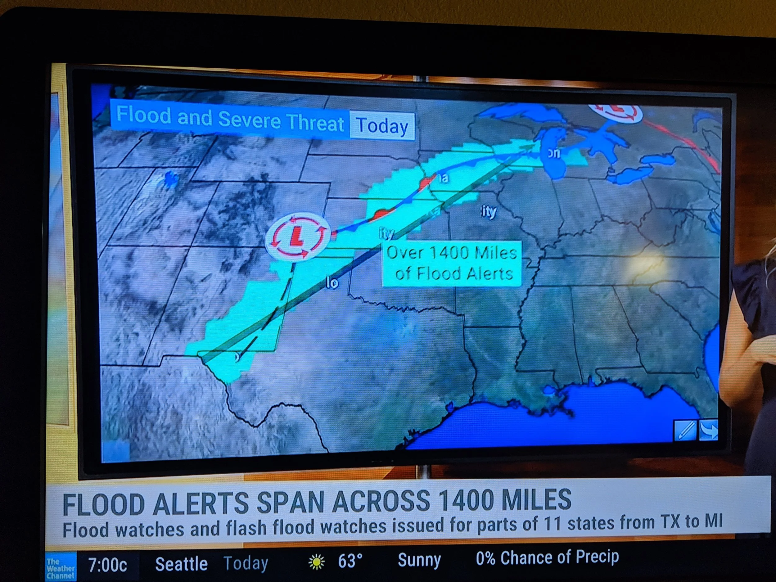
Since you can’t ride in the summer or winter, that leaves spring or fall, and since fall is soon, that’s what I’ll go with. The temperatures in Amarillo and Albuquerque are historically around (80/50°F high/low). Gallup (70/40F), Flagstaff (70/35F) with some snow possible, and in the Mojave (90/60F) with temperatures up to 100 still possible. There are also flash floods possible in the desert areas. During the first part, there were flash floods in the three days leading up to my arrival in Amarillo. Generally, I think it will be too hot with the possibility of sudden flash floods.
What Can I do to Prepare?
At heart, I’m a prepper. I love to talk about the apocalypse and what preparations I’d make. My favorite character in The Last of Us is, obviously, Bill. So, I don’t want to be all doom and gloom, only cognizant of the uphill battles. (Sorry, Dad joke.) None of these issues are insurmountable and all can be prepared for to a certain degree. There are a couple of things which I probably won’t get to, but I hope my general training and fitness will help me rise to the challenge. So here is how I’ll prepare or train:
Elevation: While I could do a couple of training rides at elevation in the Sierra Nevadas near Lake Tahoe, that ship has sailed. This is one of those issues, and it’s a pretty big one, where I’m rolling the dice and hoping for the best.
Mountains: I live in the San Francisco Bay Area. As such, there are hills galore on which to train. My favorite 10-mile route has a 6-mile, 1,500ft ascent where the grade is at times 9-10%. My thought is, if I practice this a few times a week and layer in some longer rides, I’ll at least get my body used to ascending those mountains.
Deserts & Hot Weather: Again, living in the Bay Area, there isn’t a lot of weather variation, which is a huge upside for life but a downside for preparation. All year round, the weather here is around 60-70°F. There isn’t a lot of heat training in my immediate vicinity. In fact, just the other day, I rode into a neighboring town, just a tunnel away, and it was 90°F! During that 43-mile ride, my chain broke, I ran out of water, and we had to hop some fences to get around a construction zone. If we just double the mileage, it could be representative of the obstacles to come.
In terms of the sun, I’ll be wearing a lightweight sun-shirt. Hopefully, this will keep me cool and keep the sun exposure down. If it rains, I’ll have a raincoat. I don’t anticipate it being too cold while I’m riding, so I’m not going to worry about that.
Ghost Towns: All along the second half of Route 66, there are a lot of areas where there are no services or hotels, sometimes for 40-50 miles. I’ve been practicing carrying more water and weight on my bike and really trying to dial in my nutrition needs.
On top of all this preparation, a very unexpected change to my plans will help. My retired father has decided to accompany and support me for one of the more isolated portions of the route. And my bestie has decided to accompany me for another, which has raised my morale, alleviated some stress, and will provide just that little bit more time to help me acclimate.